
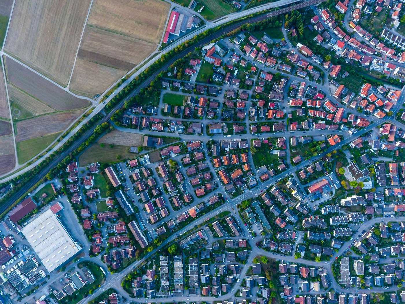
What is an orthomosaic?
An orthomosaic is a single, seamless aerial image of your whole site, stitched from many photos and geometrically corrected so it's to scale and distortion-free. Unlike a normal photo — where things lean and scale changes across the frame — every point on an orthomosaic sits in its true position, so you can measure distances and areas directly on it. It's delivered as a georeferenced GeoTIFF (often a cloud-optimised COG).
What is a DSM (Digital Surface Model)?
A DSM records the elevation of the top surface of everything — ground, buildings, trees, stockpiles, machinery. Each pixel stores a height. DSMs are what you use for line-of-sight, canopy and stockpile work, and they're the basis for most volume calculations.
What is a DTM (Digital Terrain Model)?
A DTM (or DEM) is the bare earth — the ground surface with buildings, vegetation and objects removed. It's what civil engineers design against: grading, drainage, contours and cross-sections all come from the DTM. Deriving a good DTM from a DSM means filtering out everything that isn't ground.
DSM vs DTM — which do you need?
Simple rule: DSM = everything, DTM = ground only. Use the DSM for stockpile volumes, canopy height and anything on top of the ground; use the DTM for terrain design, earthworks, drainage and contours. Many projects need both, and Orthosite generates both from one flight.
Point cloud and 3D mesh
The point cloud (LAS/LAZ) is the raw 3D — millions of measured points you can classify, section and feed into CAD. The 3D mesh (OBJ) is a continuous, photo-textured surface built from the cloud, ideal for inspection and presentation. The orthomosaic and elevation models are, in effect, tidy 2.5D products derived from this same 3D reconstruction.
Derived products: contours, volumes, profiles
From these core outputs you get the day-to-day deliverables: contours (iso-height lines from the DTM/DSM), volumes (cut/fill from a surface), and cross-section profiles (a slice of elevation along a line, for roads and drains). Orthosite creates all of these in-browser and exports them in open formats in your coordinate system.
FAQ
What's the difference between an orthomosaic and a normal photo?
What's the difference between a DSM and a DTM?
What format is an orthomosaic?
DSM or point cloud — what's the difference?
Which output do I need?
Tee seuraavasta lennostasi mittaustarkka tulos
Lataa dronekuvasi, niin Orthosite rakentaa ortomosaiikin, 3D-mallin, pistepilven ja korkeusmallit pilvessä — mittaa, jaa ja vie avoimissa formaateissa.
Aloita Orthositen käyttö