
What are ground control points (GCPs)?
A ground control point is a clearly marked target on the ground whose real-world coordinates you have measured precisely. In processing, you identify each target in the photos it appears in, and the software ties the whole model to those known coordinates. GCPs anchor three things at once: absolute position (where the model sits on Earth), scale (so distances are true) and orientation. Without control, a model can look perfect internally yet sit a metre or more from its true location.
GCPs vs RTK/PPK — do you need both?
They solve the same problem from opposite ends. RTK/PPK records where the camera was to ~1–2 cm; GCPs record where known points on the ground are. An RTK/PPK drone can reach survey grade with few or no GCPs — but even then, a handful of GCPs or checkpoints is best practice: they independently verify the result and catch base-station setup, antenna-height or datum mistakes that RTK alone will never reveal. The gold standard is RTK/PPK + a few well-surveyed GCPs and checkpoints.
How many GCPs, and where to put them
Use 5–8 GCPs for a typical site (absolute minimum 3–4). Distribution matters more than count: place them at the corners and edges, where models warp most, add one or two in the middle, and include the site's highest and lowest ground so vertical accuracy holds everywhere. On large sites, spread them roughly evenly rather than clustering. RTK/PPK flights can use fewer (4–5) but should still carry checkpoints.
Choosing and placing your targets
A good target is big enough to span several pixels at your GSD (so it's easy to click accurately), high-contrast (a black-and-white chevron or checker), flat and on stable ground. Give it a well-defined centre and don't let it move between the flight and the survey. Avoid placing targets under trees, right next to tall buildings or on reflective surfaces, where GNSS multipath degrades the survey. Pre-printed targets, painted crosses or purpose-made mats all work.
Surveying your GCPs
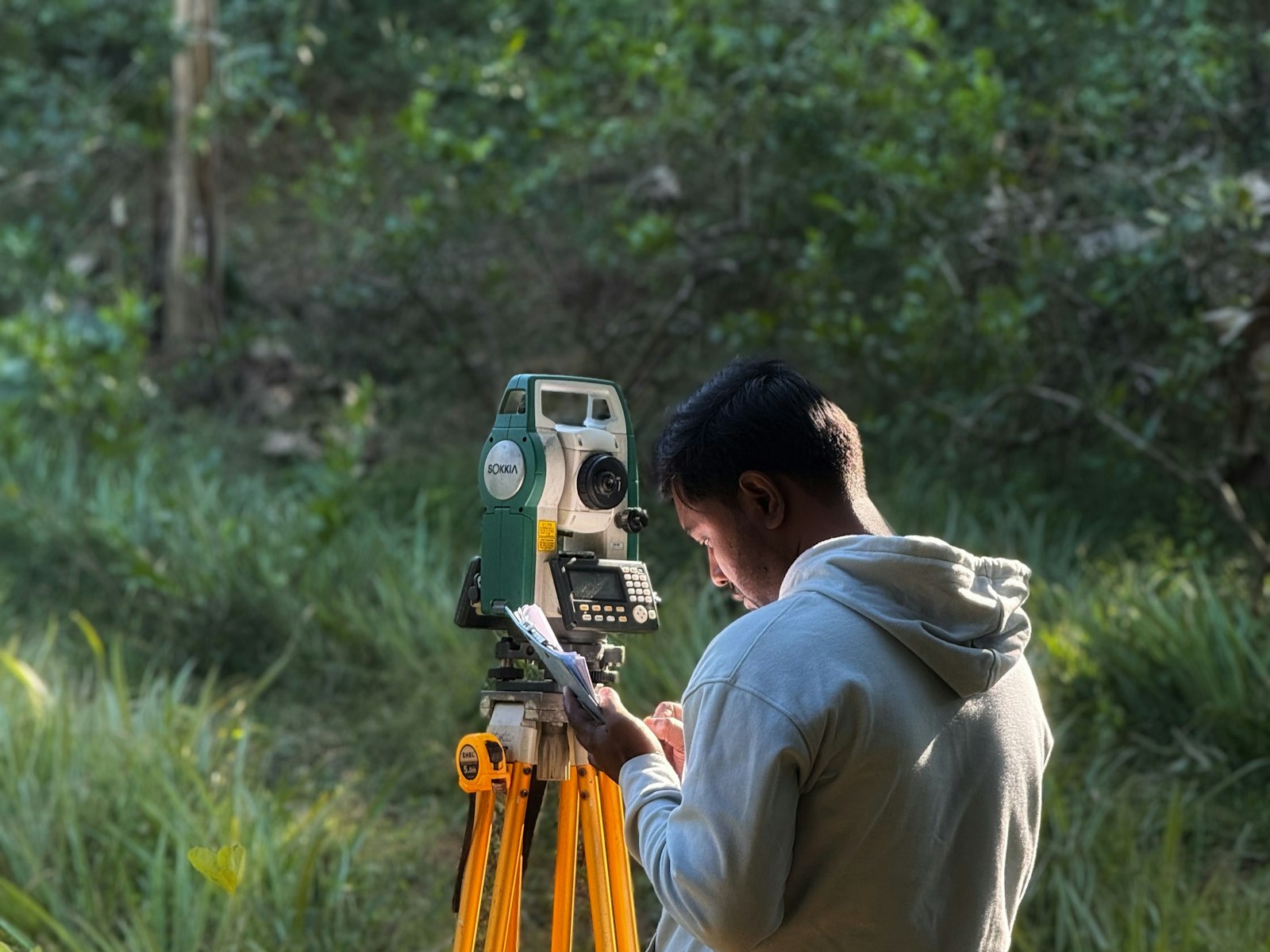
Measure the exact centre of each target with an RTK GNSS rover or total station. Record the coordinate system and vertical datum you measured in — this must match (or be transformable to) your project CRS, or you'll bake in an offset (see the coordinate-systems guide). Give the receiver enough occupation time for a fixed solution, and re-check any point measured near canopy or structures.
Checkpoints: how to actually prove accuracy
Here's the part most people skip. Survey a few extra points and hold them out of the GCP set as independent checkpoints — the software never uses them to build the model. Because they didn't influence the solution, comparing them to the model gives an honest, external accuracy figure. GCP residuals alone can flatter a bad solve (the model was fitted to them); checkpoints can't be gamed. Keep 2–4 checkpoints on any job where accuracy has to be certified.
Reading an accuracy report (RMSE)
RMSE (root-mean-square error) summarises how far your control/checkpoints sit from the model. It's reported separately for horizontal and vertical, because they behave differently — vertical is typically 2–3× worse than horizontal, and ASPRS standards judge them against different tolerances. As a rule of thumb, a well-controlled drone survey reaches ~1–3 cm horizontal and ~2–5 cm vertical. Look at the per-point residuals too: if every arrow points the same way, you have a systematic error (a datum, base-station or scale mistake), not random noise. Orthosite's accuracy report shows horizontal, vertical and 3D RMSE plus a residual-vector chart that surfaces exactly that pattern at a glance.
Common GCP mistakes
- Too few, or all clustered — leaves the edges and heights uncontrolled.
- Wrong datum — GCPs surveyed in a different CRS/epoch than the project, baking in an offset.
- Fuzzy centres — targets too small or low-contrast to click precisely at your GSD.
- Too few images per GCP — a control point needs to be visible and marked in several photos (aim for 5+).
- No checkpoints — so the "accuracy" is just how well the model fit its own control.
- Marking the wrong point — clicking the target corner instead of its surveyed centre.
How Orthosite handles GCPs and accuracy
Mark each target once in Orthosite's browser-based GCP editor — it shows you every image the point appears in, with sub-pixel click accuracy. On processing, Orthosite produces a full accuracy report: horizontal, vertical and 3D RMSE against your checkpoints, a per-point residual table, and a residual-vector chart that reveals systematic errors instantly. Checkpoints are kept out of the solve automatically, so the numbers are honest — and every export lands in your chosen coordinate system and datum.
FAQ
How many ground control points do I need?
Do I need GCPs if I have an RTK drone?
What's a good RMSE for a drone survey?
What's the difference between a GCP and a checkpoint?
How big should GCP targets be?
What is RMSE?
Can I add GCPs after flying?
In which coordinate system should I measure GCPs?
Convierta su próximo vuelo en un resultado de calidad topográfica
Suba sus fotos de dron y Orthosite genera el ortomosaico, el modelo 3D, la nube de puntos y los modelos de elevación en la nube — mida, comparta y exporte en formatos abiertos.
Empezar con Orthosite