
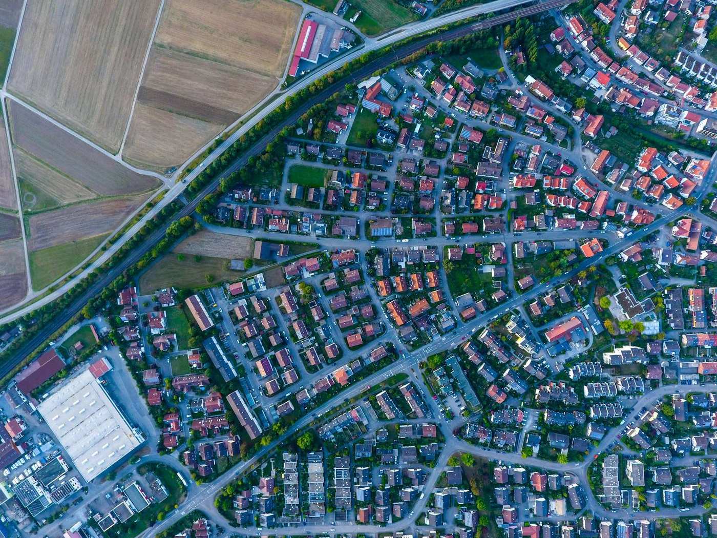
What drone mapping does for agriculture
A single flight produces a full-resolution orthomosaic of your fields and an accurate terrain model. From those you get field boundaries and areas, water-flow and drainage information, volumes (soil, silage or feed piles), and a dated record you can compare season to season. It's fast, covers ground you can't easily walk, and everything is measurable.
Elevation, water and drainage
This is where agriculture benefits most. A DSM/DTM reveals how water moves across a field — where it pools, which way it drains, and where levelling would help. You can plan drainage lines and land-levelling from real elevation data instead of guesswork, and pull cross-section profiles along a drain or contour to design fall. Accurate terrain is the base layer for precision-agriculture planning.
Measuring areas, volumes and boundaries
Measure field and parcel areas directly on the orthomosaic, and compute volumes of soil stockpiles, silage clamps or feed piles the same way you would on a construction site. Repeat flights let you document erosion, track earthworks or land-forming, and keep as-built records of tile drainage and access tracks.
What about crop health and NDVI?
Being straight with you: NDVI and other vegetation indices need a multispectral (or near-infrared) camera and dedicated index tooling — that's a different sensor and workflow. Orthosite processes standard RGB imagery, so it excels at the mapping, terrain, drainage and measurement side of agriculture, and gives you an accurate true-colour base map — but it does not compute NDVI from a normal camera. If crop-health indices are your main goal, pair a multispectral drone with an index tool; if accurate field maps, terrain and volumes are what you need, Orthosite is a strong fit.
How Orthosite fits agriculture
Upload your RGB flight and Orthosite builds the orthomosaic, DSM and DTM in the cloud. Measure areas, volumes, height differences and drainage profiles in your own coordinate system, export GeoTIFF/DXF/LandXML for drainage and levelling design, and share a link with an agronomist or contractor. No workstation, no installs.
FAQ
Can Orthosite do NDVI or crop-health maps?
Can I plan drainage and land levelling with it?
Can I measure soil or silage piles?
What drone do I need for field mapping?
Can I measure field areas?
Convierta su próximo vuelo en un resultado de calidad topográfica
Suba sus fotos de dron y Orthosite genera el ortomosaico, el modelo 3D, la nube de puntos y los modelos de elevación en la nube — mida, comparta y exporte en formatos abiertos.
Empezar con Orthosite